
QSO Map
This project is a python program used to plot the location of QSOs (radio contacts) on Google Earth or other mapping applications. It reads an ADI file of the QSOs and creates a KML file with placemarkers for each QSO. You can export your QSOs to an ADI file from QRZ.com or from most logging programs. The resulting KML file can be dragged onto Google Earth or imported into other mapping applications. The location of each QSO will then be displayed on the map.
ADI File
An ADI file, in Amateur Radio Data Interchange Format, contains the QSO details. See https://www.adif.org/
KML File
A KML file, in Keyhole Markup Language format, contains geographic annotation information. See: https://en.wikipedia.org/wiki/Keyhole_Markup_Language
Download
You can download the python script here. QSO Mapping Program. Version 1.1 Copyright (c) 2021, Julie VK3FOWL and Joe VK3YSP for the School Amateur Radio Club Network https://www.sarcnet.org/ This program is free software: you can redistribute it and/or modify it under the terms of the GNU General Public License. This program is distributed in the hope that it will be useful, but WITHOUT ANY WARRANTY; without even the implied warranty of MERCHANTABILITY or FITNESS FOR A PARTICULAR PURPOSE. See the GNU General Public License for more details.
Known Issues
- Not all stations have their location registered on qrz.com
- Some stations have an incorrect location registered on qrz.com
- Over time, some stations change their location. Only the last entry for each call in the ADF file will be displayed.
- Does not handle any errors in the ADI file

QSO Map Displayed on Google Earth
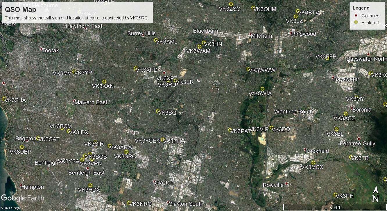
QSO Map Displayed on Google Earth